Gardline leads the field in marine geophysical surveys. Dependable and second to none in QHSE, Operational Excellence, 3D High and Ultra High Resolution Seismic and other innovative solutions, we stand out with our customer centric and result driven project approach.
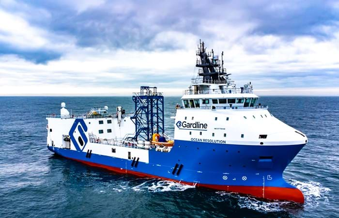
To support our clients to make the best decisions on the design and development of offshore installations, Gardline provides vital and detailed information of the seabed and underlying sub strata. Operating one of the world’s largest fleet of permanently mobilised survey vessels, we have the knowledge and resources needed for any marine site survey.
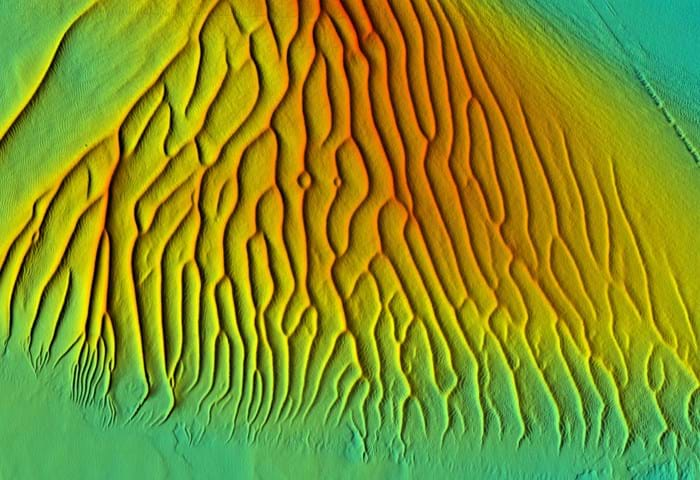
One of our core businesses and expertise is the provision of geophysical surveys to investigate whether the conditions on the seabed are suitable for the installation of offshore structures such as platforms and drilling rigs, pipelines, wind turbine foundations and cables.
To date, Gardline has successfully completed more than 11,000 marine survey projects for oil and gas operators and offshore wind farm site developers.
What we offer
Site Investigation Surveys
• Hydrographic surveys.
• 2D and 3D(U)HR geophysical drilling and exploration site surveys integrated with:
- Environmental Baseline Surveys and Habitat Assessments.
- Shallow seabed geotechnical surveys.
• Pipeline and cable route surveys.
• Wind farm consenting and engineering surveys.
• UXO geophysical surveys.
• High resolution seismic undershooting of platforms.
• Water column imaging and geochemical sampling.
Second to none
We continue to meet and exceed expectations. Get in touch with us now to find out how.