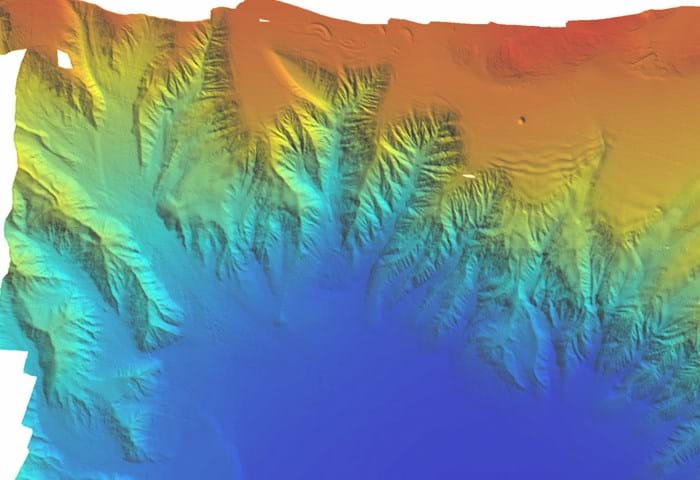
Unexploded bombs, mines, torpedoes and shells, deposited as a result of conflicts, maritime disasters and established firing practice areas are known as Unexploded Ordnance (UXO).
Because they can be located on or near proposed marine renewable development sites, unexploded ordnance can pose a real threat to both your staff and your operations.
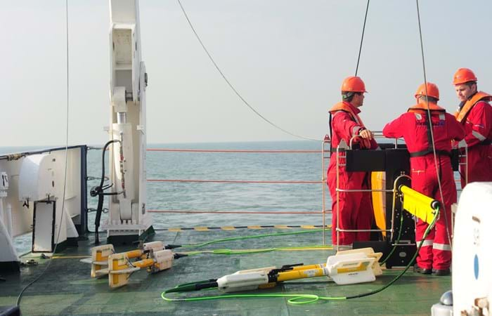
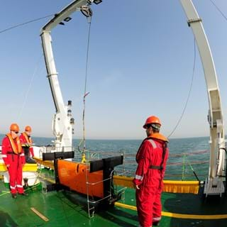
That’s where we come in. Whether it’s helping you to identify high-risk areas or by locating specific threats on the sea bed for further investigation, we are a UXO survey specialist you can trust. With our expert knowledge and experience, we work in partnership with UXO consultants and EOD specialists within the Boskalis group to identify and mitigate potential unexploded risks. Our UXO survey package has a reputation in the industry for delivering exceptional quality data. We have adapted our survey vessels to facilitate safe and rapid deployment and recovery systems. These systems are easily deployed from our survey vessels, and can be tailored to meet your UXO survey specification. During and after completion of survey operations, we will map the hazardous sites and work with the UXO consultant to facilitate the generation of clearance certificates for specific locations.
Our fleet is available 24/7 and has capacity for any scale of project.
Our vessels are ideally suited to both shallow and deeper water offshore windfarm sites. Our commitment to our clients, coupled with our high-quality data has ensured that we remain a leading choice for the offshore industry.
Services, equipment & software
- Scanfish Katria: Dual EIVA 3D ROTV with 4 x G882 magnetometer
- UHF side-scan sonar, variable frequency up to 1600kHz
- High resolution 3-400kHz multi-beam echo-sounder
- Shallow sub-bottom profiler: hull mounted or shallow towed 3-7kHz
- High accuracy surface and sub-surface navigation
- Gardline Voyager5 navigation control, quality control and survey planning
- Gardline Geofusion geophysical processing and interpretation software
- Oasis Montaj ‘UX-Detect’ software for anomaly mapping
Scanfish Katria
The ScanFish Katria is an intelligent wide-sweep Remotely Operated Towed Vehicle (ROTV) solution for time-efficient magnetometer surveys. As it comes with high-sensitivity magnetometers for maximum target detection efficiency, it is an effective tool for detection of sub-bottom magnetic anomalies.
3D Steering - Making a wide ROTV reach even wider
EIVA has developed an easy and effective way to modify the existing ScanFish ROTV models with ‘3D’ steering – that is, the ability to not only swim up and down, but sideways as well during subsea survey operations.
The 3D upgrade to the ScanFIsh ROTV allows the operator to control not just the vertical but also the horizontal movement of any ScanFish ROTV through the water, with a fast steering response and a wide range of lateral movement of +/- 25m.
This ability to steer sideways is particularly useful when sideways currents influence the ROTV position, long tow cables are used in deep water, or when the runline is not straight in cable and route surveys, among other situations. It also increases survey efficiency, since overlap of sensor coverage can be reduced and the number of re-surveys required can be minimised.
Moreover, 3D steering can be used with Gardline’s V5 navigation package - whose auto-pilot feature will allow for the ROTV to follow a predefined runline as instructed by the software.
Always above expectation
Let's talk and discuss how we can exceed your project expectations.


