Offshore wind and wave energy developments are moving into increasingly hostile and remote locations, requiring comprehensive site and cable route investigation to support engineering design and environmental statements.
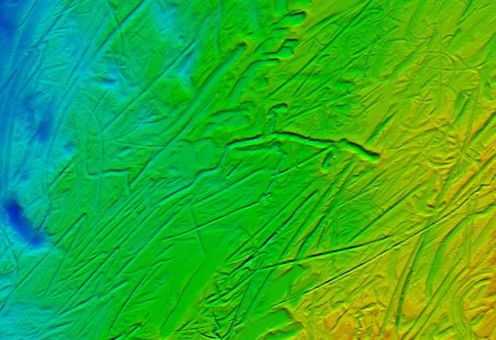
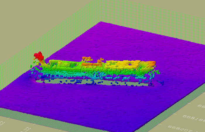
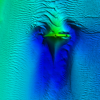
Gardline conduct offshore surveys to chart potential offshore wind farms and study the seabed morphology to better understand the geological setting. Data interpretation and processing leads to the development of final reports and data visualisations, which may be used to identify hazards to construction and sensitive habitats.
A wide range of specialised hydrographic and geophysical instrumentation is permanently deployed across the fleet of Gardline’s offshore and nearshore vessels, and operated by highly experienced personnel.
Gardline offer a fully integrated, multidisciplinary service, often from a single platform.
With 50 years experience in the UK offshore industry and using its fleet of offshore specialist survey vessels, equipment and staff, Gardline is able to meet or exceed these demands. Gardline provides seabed mapping and related services to support renewable energy projects in shallow and deeper waters. We offer a fully integrated, multidisciplinary service, often from a single platform providing comprehensive reports and datasets for multiple user requirements.
Always above expectation
Let's talk and discuss how we can exceed your project expectations.


