Gardline has firmly cemented its position as industry leading providers of High Resolution 3D Seismic (HR3D) surveys, successfully completing numerous HR3D or Ultra High Resolution Seismic 3D (UHR3D) surveys for many of the world’s leading oil and gas majors, with excellent results.
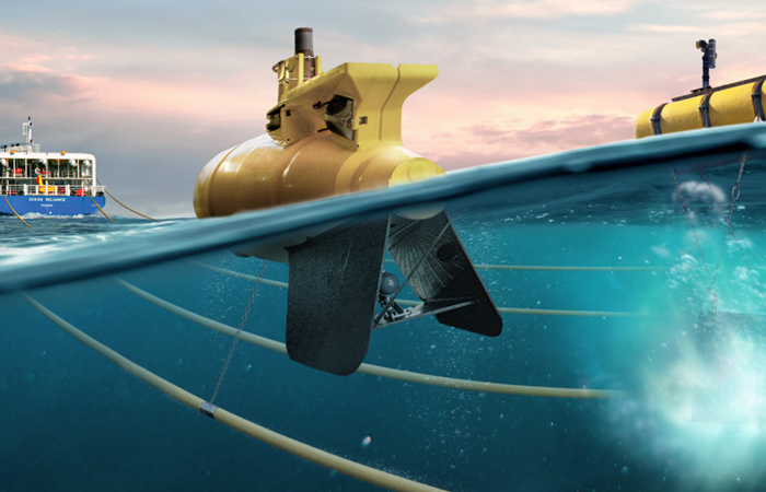
Our system is proven and repeatable and has been utilised for a wide variety of survey objectives for several years. Primarily, Gardline’s solution is designed to provide HR3D seismic as the optimum tool for conducting drilling hazard site surveys and is specifically designed to offer HR3D seismic in a single pass with other geophysical survey tools utilised for site investigation, such as multi-beam echo sounder (MBES), single-beam echo sounder (SBES), hull mounted pinger, and side scan sonar (SSS).
HR3D seismic datasets provide the most effective way of identifying geohazards, including the presence of shallow gas.
The data acquired during these surveys has not only proven the expected benefits of a HR3D dataset over traditional 2D high resolution seismic (HR2D), which remains the typical seismic method utilised for hazard site surveys, but has also produced some surprising and potentially industry changing results.
HR3D seismic datasets provide the most effective way of identifying geohazards, including the presence of shallow gas, which is one of the most serious problems facing the assessment of top-hole drilling conditions. The benefits of good vertical resolution and high frequency data associated with high resolution seismic acquisition, are combined with the better spatial resolution provided by conventional exploration 3D data.
In additional to hazard site surveys, HR3D seismic has many other potential uses throughout an offshore asset lifetime and Gardline has experience of utilising HR3D seismic for a variety of survey objectives including, time lapse shallow hazard monitoring, pre-decommissioning surveys and reservoir imaging, where the target lies within the penetration limits of high resolution seismic systems.
Always above expectation
Let's talk and discuss how we can exceed your project expectations.