Gardline has acquired significant experience in design and acquisition of survey data necessary to meet United Nations Law of the Sea Article 76 (UNCLOS) claims for extended continental shelf and delimitation.
Article 76 specifications require specialist techniques to address the hydrographic and geophysical requirements in deep water environments including the following activities:
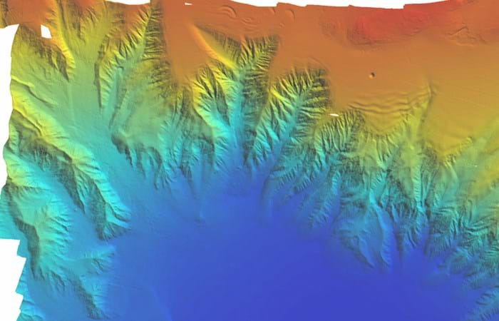
- Swathe bathymetry for identification and mapping of the 2,500m isobath, foot of slope and ocean/ continent transition.
- 2D seismic reflection and seismic refraction to measure sediment thickness.
- Sub-bottom profiler.
- Gravity, magnetics, velocity information and seabed sampling: evidence to the contrary and supporting geological data.
Gardline has acquired significant relevant experience since 1999 undertaking UNCLOS surveys for thirteen coastal states.
The company has invested in state of the art equipment including swathe bathymetry systems and various 2D seismic configurations have been developed, both high resolution and high volume, to map sedimentary basement objectives as a single (integrated) pass survey.
Gardline operates a fleet of specialist survey vessels providing integrated solutions to meet coastal states’ requirements with minimum cost.
Experience
Gardline has acquired significant relevant experience since 1999 undertaking UNCLOS surveys for thirteen coastal states. In excess of 1,000,000km2 of seabed has been surveyed in water-depths exceeding 4500m.
Always above expectation
Let's talk and discuss how we can exceed your project expectations.


